Bike tours on Flumserberg
The SwitzerlandMobility trail network is dedicated to non-motorised traffic – and provides a wide range of options for active guests. They also include bike routes, with three of these signposted SwitzerlandMobility routes leading through the beautiful Flumserberg region.
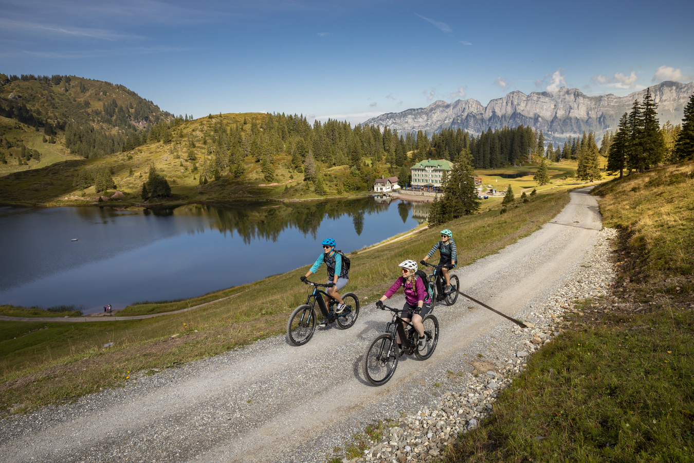
If you take the Flumserberg Panorama Bike trail no. 470, you will be rewarded with a stunning natural scenery. The Seebenalp plateau with three idyllic mountain lakes is certainly one of the highlights along the route. And a stop at the traditional Hotel/Restaurant Seebenalp right by the lake is well worthwhile, too. At the highest point of the tour, on Maschgenkamm ridge, you can enjoy magnificent scenic views of Lake Walensee, as well as the Churfirsten range and the Spitzmeilen area. Panoramarestaurant Maschgenkamm is the perfect stop for refreshments on this section of the route.
Facts and figures:
- start and finish: Tannenboden
- length: 17 km
- asphalt: 4 km
- unsurfaced trails: 13 km
- difference in altitude: 720 m
- technique: easy
- level of fitness: medium
Highlights of the bike tour:
- Seebenalp with Hotel/Restaurant Seebenalp and 3 idyllic mountain lakes
- Maschgenkamm as the highest point, visit to Panoramarestaurant Maschgenkamm
- Prodalp
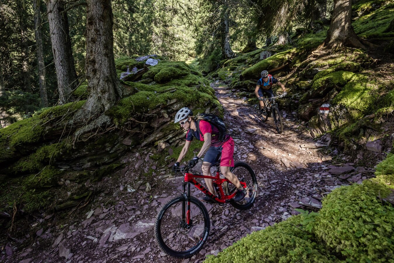
The Alp Fursch Bike trail no. 478 starts in Flums. From there, it takes you to Flumserberg ski and hiking resort – passing the Fäsch hamlet as well as the villages of Bergheim, Tannenheim and Cafrida. The Prodalp plateau with its raised bog and fantastic scenic views of the Sarganserland region and the Churfirsten mountain range is well worth a stop. And the same applies to the sundeck of Prodalp mountain restaurant.
Facts and figures:
- start and finish: Flums
- length: 36 km
- asphalt: 24 km
- unsurfaced trails: 12 km; 4 km of which are single tracks
- difference in altitude: 1550 m
- technique: medium
- level of fitness: difficult
Highlights of the bike tour:
- Gräpplang castle ruins
- Prodalp plateau, stop at the Prodalp mountain restaurant
- Alp Fursch, descent through the Furschwald forest
- Schilsbach
- forest trail to Portels
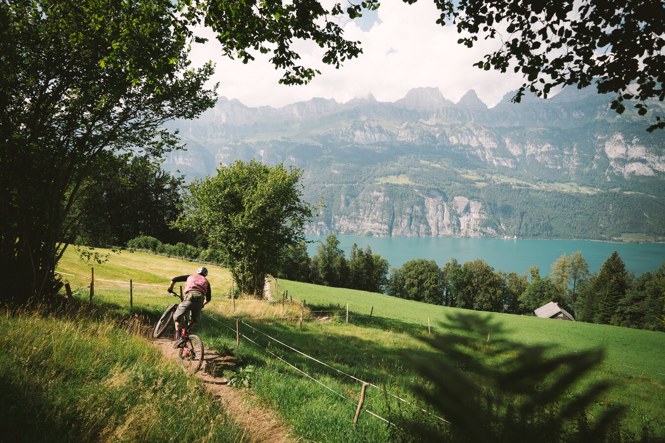
The SwitzerlandMobility route network on Flumserberg just became even more expansive. Recently the Flumserberg Lake Descent trail no. 469 from Tannenboden (1400 m) to Unterterzen (425 m) was added to it. This demanding descent in partly very steep terrain is only suitable for above-average bikers. For the most part, hikers follow the same route – so respect and consideration are required.
Facts and figures:
- start: Tannenboden
- finish: Unterterzen
- length: 7 km
- asphalt: 2 km
- unsurfaced trails: 5 km; 4 km of which are single tracks
- difference in altitude: 970 m
- technique: easy
- level of fitness: leicht
The highlights of the downhill route:
- demanding, sometimes steep terrain
- panoramic view includes the Churfirsten mountain range and Lake Walen
- secluded glades
- viewpoint with bench to linger and rest


